Scan to CAD / BIM
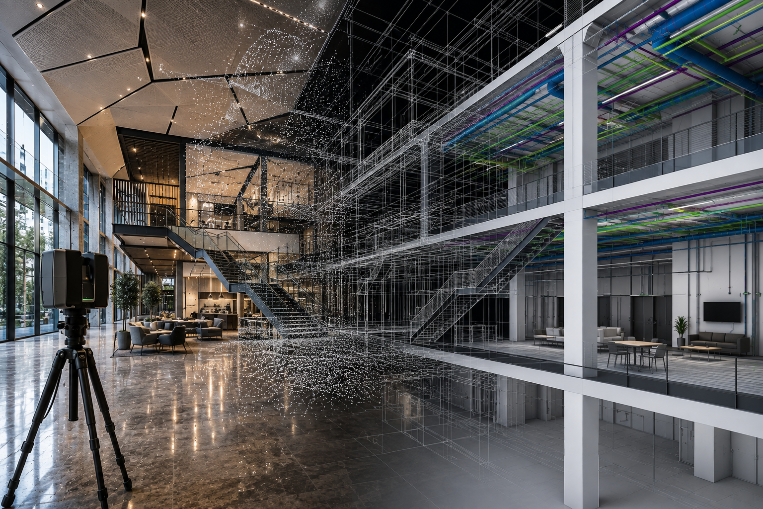
Know What’s Really There
Stop guessing with incomplete records. We turn existing spaces into accurate CAD, BIM, and visual data so your team can design from reality.
A More Accurate Starting Point
Replace outdated drawings and assumptions with clearer existing-condition data.
Better Renovation and Upgrade Planning
Start future work with fewer unknowns and less re-verification.
Shared Reference Across Teams
Give planning, design, operations, and project teams a more dependable baseline.
Multiple Outputs From One Capture
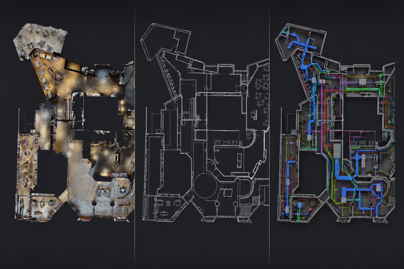
Generate CAD, BIM, walkthroughs, and visual records from the same capture process.

Bad building information slows everything down
Outdated drawings and incomplete records turn simple design questions into expensive guesswork.
Our scan-to-CAD and BIM services replace assumptions with reality, delivering a precise digital baseline of your existing space so your team can plan, design, and build with absolute confidence.
Built for teams that need better existing-condition data
Updated CAD Record Drawings
Get cleaner, more current plans for existing buildings and spaces.
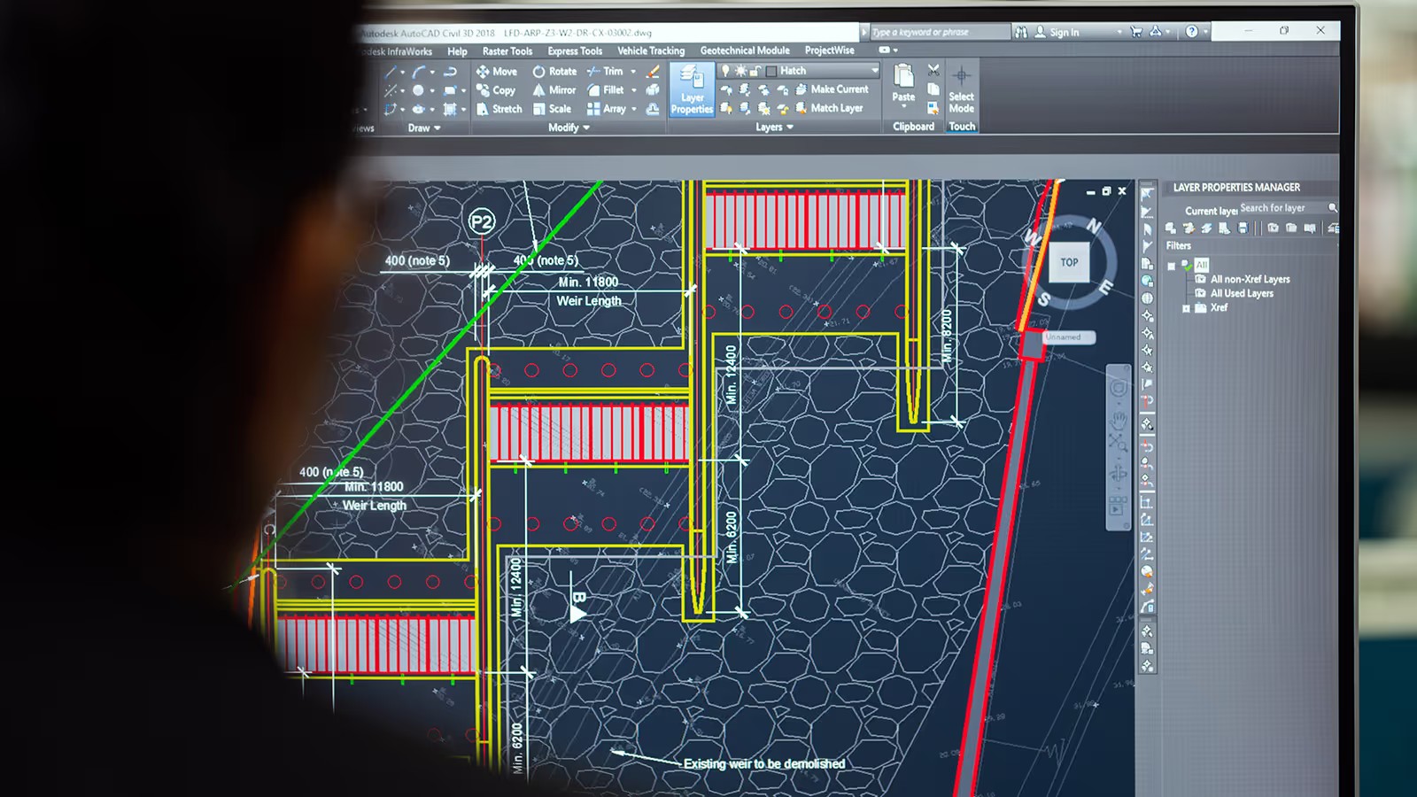
Revit / BIM Models
Create usable digital models for planning, coordination, and future reference.
Existing-Condition Documentation
Capture what is actually there so future work starts from a clearer baseline.
Renovation & Retrofit Readiness
Reduce unknowns before upgrades, redesigns, and tenant improvements begin.
Digital 3D Walkthroughs
Add immediate visual clarity alongside the technical deliverables.
One Capture, Multiple Outputs
Use one capture process to generate the records different teams need.
See how a clearer baseline replaces decades of guesswork
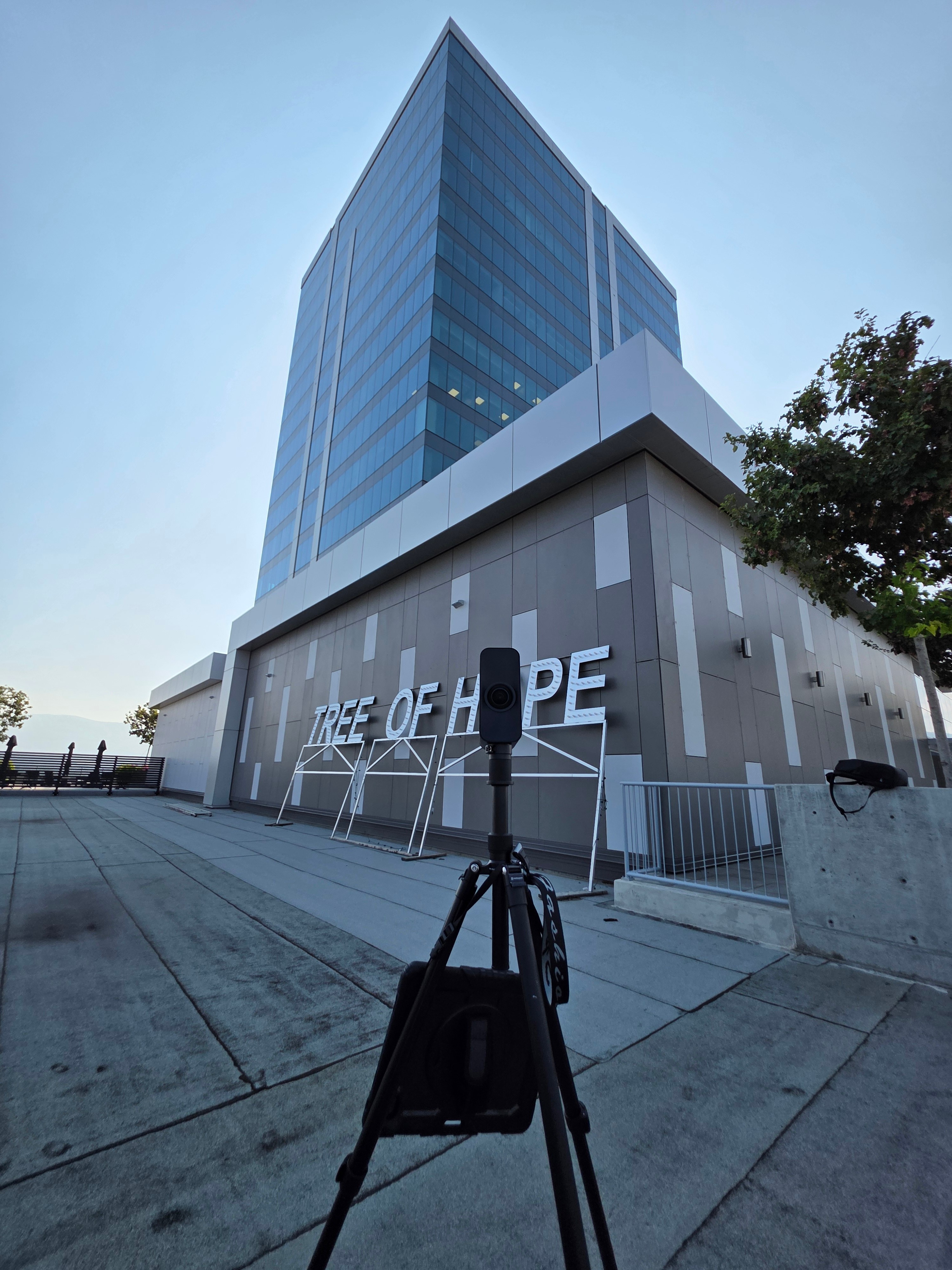
Click here to find out how we established a verified measurement baseline across a 1.2 million sq ft campus, unifying documentation for leasing, planning, and asset teams.
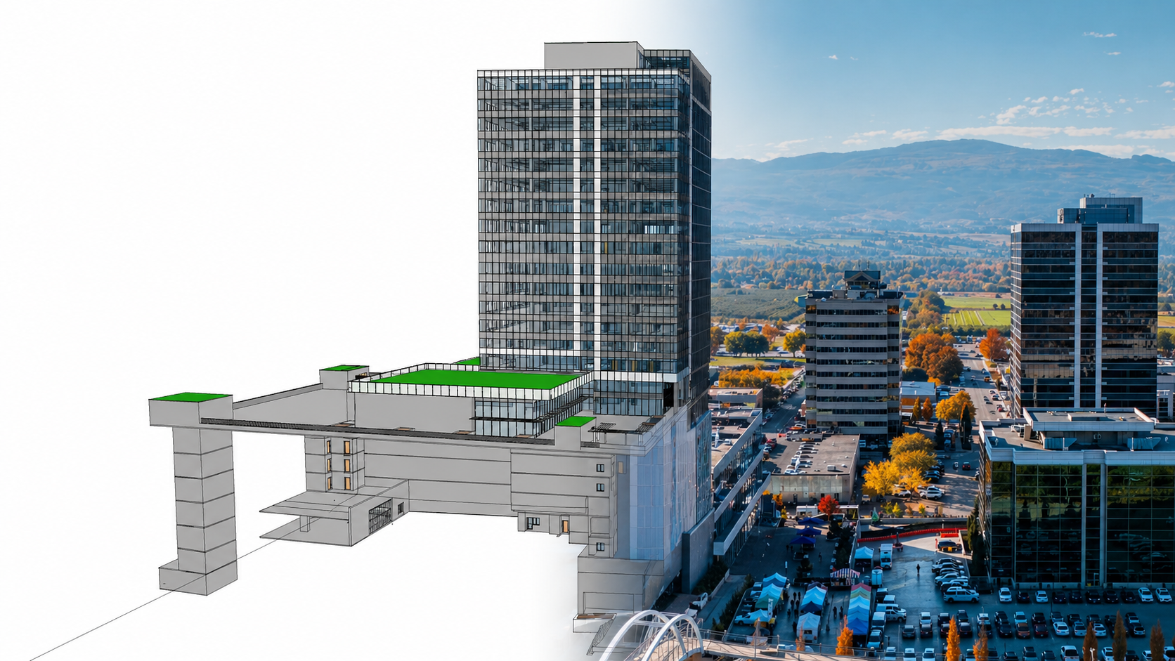
“The scans and BOMA deliverables gave us a reliable baseline across the entire Landmark District, replacing decades of guesswork.”
How It Works
We define what spaces need to be captured, what outputs are required, and how your team will use them.
We plan the site capture around the building, campus, portfolio, or project scope.
We scan the existing space to collect the underlying spatial data.
We turn that data into the agreed outputs, whether that is CAD, Revit/BIM, walkthroughs, or a combination.
You receive a clearer digital baseline your team can use for planning, coordination, documentation, and future work.

One capture. More usable building information.
Turn existing spaces into dependable drawings, models, and visual records your team can actually work from.
Why 360Pros?
We create virtual tours that do more than look good. They are built to help people understand space clearly and take the next step with more confidence.
Built for Existing Spaces
We work with the realities of aging buildings, incomplete records, and outdated drawings.
More Than One Output
Our capture process can support multiple needs from the same underlying data.
Practical Deliverables
The goal is not just technical completeness. It is better information your team can actually use.